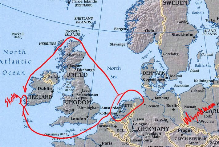
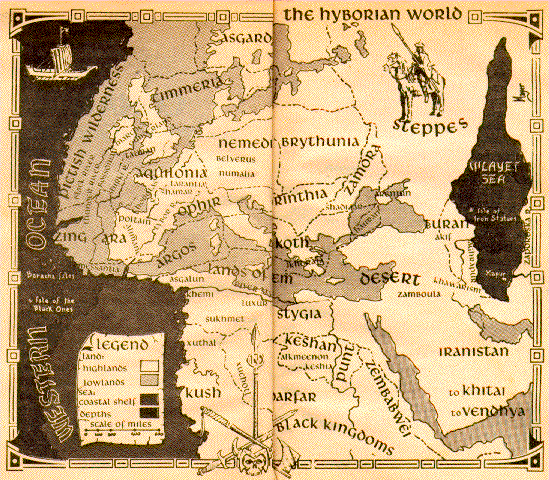
Supposing Miura was to draw up a BERSERK world map, and supposing this would be done in the near future, would anyone know what type of cartographic measure would be most probable for him to use? I mean, would he use a political variation or an actual geographic landform variation? Meaning, BERSERK seems like the political type map would be best for the actual story, showing boundaries and country outlines, then again, not showing the type of landform and other useful information that could benefit showing the journey different groups would've taken. The Kushan coming from their homeland, and the Bakiraka's travels. Griffith's movements, and Guts' journey. Not to mention, what type of terrain is in between both. I think a mixture of both is in order, provided a map happens.
I've studied Tolkien's maps, and he incorporates both functions into his illustration, as do the others who are responsible for illustrating Middle-Earth and it's various realms.
Anyway, like many and, still, unlike the majority, it seems, I would love to see a map of the Berserk world. It would help to show the lengths Guts and his group has traveled and the distance groups have gone to catch up to them.